
Digital dominance and natural wonders have joined forces. Search engine giant Google partnered with the Charles Darwin Foundation and the Galapagos National Parks Directorate to add panoramic images of the islands to Street View Trekker.
Street View Trekker builds upon Google’s virtual mapping of the world’s roadways by leaving the pavement behind. High resolution images are captured by 15 cameras mounted on a rotating film system resembling a disco ball and attached to a special 40-pound backpack that allows the team to map hiking trail, national parks, and other non-commute areas.
Section Type: standardWidthImageS
Photo - Anne & David
The Google Trekker team spent 10 days in the Galapagos exploring lava tunnels, footpaths, animal habitats, and even going underwater to capture marine footage.
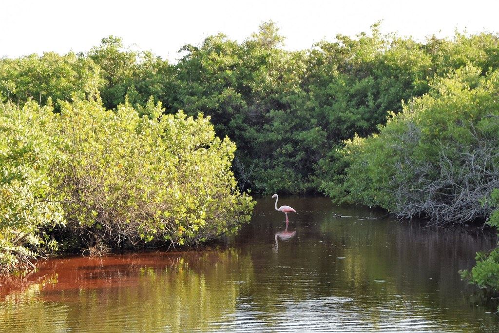
The Galapagos Islands are UNESCO World Heritage Site and home to numerous endemic and endangered species.
“We truly believe that in order to protect these Galapagos Islands, we must understand them. As they say, ‘a picture is worth a thousand words.’ We hope this Street View imagery not only advances the important scientific research, but also inspires you to learn more about this special place,” wrote Raleigh Seamster, Google Maps Project Lead, in an official Google blog post.
Street View Trekker has captured several other natural wondering, starting with the Grand Canyon in 2012 and including the Amazon Rainforest. The Galapagos images will go live online later this year.
Section Type: cta
Keen to see the Galapagos for yourself? Check out our Galapagos & Ecuador tours or speak to one of our Destination Experts about crafting the bespoke vacation of your dreams.
 South America
 South America